|
|
Help |
| Home - Basic G - Genealogy Maps & Atlases (Books) | |
e99 Online Shopping Mall
|
|
Help |
| Home - Basic G - Genealogy Maps & Atlases (Books) | |
| 1-20 of 100 | Next 20 |
click price to see details click image to enlarge click link to go to the store
| 1. Genealogy, Geography, and Maps: Using Atlases and Gazetteers to Find Your Family by Douglas Althea | |
| Paperback: 184
Pages
(2006-06-30)
list price: US$39.95 Isbn: 0777921618 Canada | United Kingdom | Germany | France | Japan | |
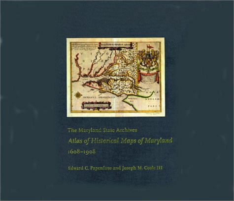
| 2. The Maryland State Archives Atlas of Historical Maps of Maryland, 1608-1908 by Edward C. Papenfuse, Joseph M. Coale III | |
 | Hardcover: 240
Pages
(2003-05-20)
list price: US$76.00 -- used & new: US$38.76 (price subject to change: see help) Asin: 0801872359 Canada | United Kingdom | Germany | France | Japan |
|
Editorial Review Product Description In The Maryland State Archives Atlas of Historical Maps of Maryland, 1608–1908, Edward C. Papenfuse and Joseph M. Coale III bring together in one volume the results of theseremarkable efforts, from Captain John Smith's 1608 detailed sketch of the region to the mapresulting from the Supreme Court's determination of the state's western border in 1908. Utilizingthe latest digital imaging and printing technology, the Atlas contains stunning, full-colorreproductions of more than 250 of the most significant historical maps from stateand federalarchives. This handsome and informative collection--a thoroughly updated and greatly expandedversion of the authors' landmark book, The Hammond-Harwood House Atlas of HistoricalMaps of Maryland (1982)--provides an in-depth history of mapmaking in Maryland andcharts the state's early settlement patterns. | |
| 3. Master Book of Irish Placenames: Master Atlas and Book of Irish Placenames | |
 | Hardcover: 270
Pages
(1994-09)
list price: US$24.00 -- used & new: US$22.49 (price subject to change: see help) Asin: 0940134330 Average Customer Review: Canada | United Kingdom | Germany | France | Japan |
|
Editorial Review Product Description Customer Reviews (3)
I'm sure Mr. O'Laughlin is a great researcher in his field, but I'm disappointed that we were a bit misled by this book's title and didn't find what we were looking for. I'm sure we'll put the book to good use eventually, though! ... Read more | |
| 4. New Ross C. 1200 to C. 1900: Seven Hundred Years in the Making (Irish Historic Towns Atlas) by Linda Doran | |
 | Map: 16
Pages
(2007-11-30)
-- used & new: US$24.99 (price subject to change: see help) Asin: 1904890326 Canada | United Kingdom | Germany | France | Japan |
|
Editorial Review Product Description | |
| 5. Victorian England and Wales 1897 Coloured Ordnance Survey Map Sheet 6: East Anglia (Published in The Royal English Atlas to commemorate The Diamond Jubilee of Her Majesty Queen Victoria) | |
 | Map: 1
Pages
(2006-12-15)
list price: US$19.00 -- used & new: US$2.51 (price subject to change: see help) Asin: 1873590466 Canada | United Kingdom | Germany | France | Japan |
|
Editorial Review Product Description | |
| 6. Victorian England and Wales 1897 Coloured Ordnance Survey Map Sheet 5: Central England (Published in The Royal English Atlas to commemorate The Diamond Jubilee of Her Majesty Queen Victoria) | |
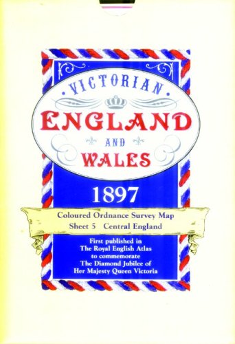 | Map: 1
Pages
(2006-12-15)
list price: US$19.00 -- used & new: US$31.44 (price subject to change: see help) Asin: 1873590458 Canada | United Kingdom | Germany | France | Japan |
| 7. Victorian England and Wales 1897 Coloured Ordnance Survey Map Sheet 7: South West (Published in The Royal English Atlas to commemorate The Diamond Jubilee of Her Majesty Queen Victoria) | |
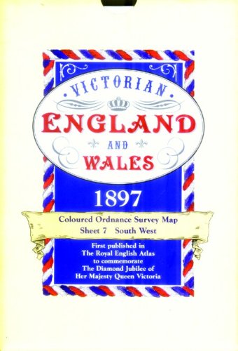 | Map: 1
Pages
(2006-12-15)
list price: US$19.00 -- used & new: US$31.44 (price subject to change: see help) Asin: 1873590474 Canada | United Kingdom | Germany | France | Japan |
| 8. Victorian England and Wales 1897 Coloured Ordnance Survey Map Sheet 3: West Wales (Published in the Royal English Atlas to commemorate The Diamond Jubilee of Her Majesty Queen Victoria) | |
 | Map: 1
Pages
(2006-12-15)
list price: US$19.00 -- used & new: US$11.67 (price subject to change: see help) Asin: 1873590431 Canada | United Kingdom | Germany | France | Japan |
|
Editorial Review Product Description | |
| 9. Victorian England and Wales 1897 Coloured Ordnance Survey Map Sheet 2: Lancashire & Yorkshire - Published in The Royal English Atlas to commemorate The Diamond Jubilee of Her Majesty Queen Victoria | |
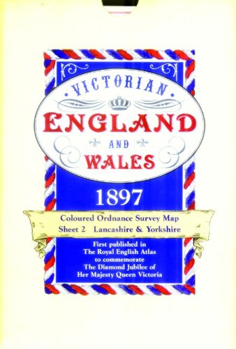 | Map: 1
Pages
(2006-12-15)
list price: US$19.00 -- used & new: US$31.57 (price subject to change: see help) Asin: 1873590423 Canada | United Kingdom | Germany | France | Japan |
|
Editorial Review Product Description | |
| 10. Victorian England and Wales 1897 Coloured Ordnance Survey Map Sheet 8: Central South (Published in The Royal English Atlas to commemorate The Diamond Jubilee of Her Majesty Queen Victoria) | |
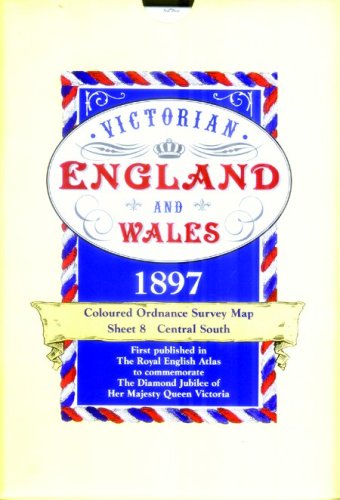 | Map: 1
Pages
(2006-12-15)
list price: US$20.00 -- used & new: US$15.59 (price subject to change: see help) Asin: 1873590482 Canada | United Kingdom | Germany | France | Japan |
| 11. Victorian England and Wales 1897 Coloured Ordnance Survey Map Sheet 9: South East (Published in The Royal English Atlas to commemorate The Diamond Jubilee of Her Majesty Queen Victoria) | |
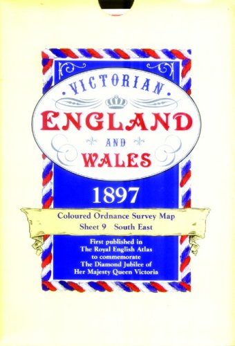 | Map: 1
Pages
(2006-12-15)
list price: US$19.00 -- used & new: US$69.95 (price subject to change: see help) Asin: 1873590490 Canada | United Kingdom | Germany | France | Japan |
|
Editorial Review Product Description | |
| 12. Victorian England and Wales 1897 Coloured Ordnance Survey Map Sheet 1: North (First published in The Royal English Atlas to commemorate The Diamond Jubilee of Her Majesty Queen Victoria | |
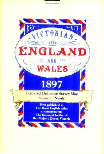 | Map: 1
Pages
(2006-12-15)
list price: US$19.00 -- used & new: US$38.98 (price subject to change: see help) Asin: 1873590415 Canada | United Kingdom | Germany | France | Japan |
| 13. Family Tree Map Research on the Internet (A Genealogy Guide) by Nancy Hendrickson | |
 | Kindle Edition:
Pages
(2010-06-24)
list price: US$2.99 Asin: B003TXS2RS Canada | United Kingdom | Germany | France | Japan |
|
Editorial Review Product Description | |
| 14. Brazil Map (International Series) by Hammond World Atlas Corporation | |
 | Map: 1
Pages
(2004-05-07)
list price: US$11.95 -- used & new: US$49.99 (price subject to change: see help) Asin: 0843719508 Average Customer Review: Canada | United Kingdom | Germany | France | Japan |
|
Editorial Review Product Description Customer Reviews (1)
| |
| 15. Hammond International Ireland Map (International Series) by Hammond World Atlas Corporation | |
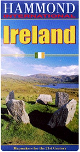 | Map: 1
Pages
(2004-05-07)
list price: US$11.95 -- used & new: US$7.52 (price subject to change: see help) Asin: 0843718919 Canada | United Kingdom | Germany | France | Japan |
|
Editorial Review Product Description | |
| 16. The Phillimore Atlas and Index of Parish Registers | |
| Hardcover: 200
Pages
(1984-01-01)
list price: US$61.82 Isbn: 0850333989 Average Customer Review: Canada | United Kingdom | Germany | France | Japan | |
|
Editorial Review Product Description Customer Reviews (5)
It is an absolute MUST HAVE if you're doing UK genealogical research! It provides maps to the parish boundaries for each of the counties of England,Wales and now Scotland. Each county map showing parish boundaries for England and Wales is placed next to a historical map for that same county.This provides an excellent opportunity to locate parishes in a historical context. The real gem of this book is the information on the location of parish records.For each parish, the extant dates of the records available for that parish are given as well as the location of where those records may be consulted. An outstanding reference work for UK genealogy.
| |
| 17. Irish Family Names Map | |
| Map:
Pages
(1985-05)
Isbn: 070280648X Canada | United Kingdom | Germany | France | Japan | |
| 18. Atlas of German Migration and America by Carrie Eldridge | |
| Plastic Comb: 40
Pages
(2002)
-- used & new: US$19.50 (price subject to change: see help) Asin: 1928979440 Canada | United Kingdom | Germany | France | Japan | |
| 19. An Atlas of Northern Trails Weatward From New England by carrie eldridge | |
| Plastic Comb: 38
Pages
(2000)
-- used & new: US$19.50 (price subject to change: see help) Asin: 1928979343 Canada | United Kingdom | Germany | France | Japan | |
| 20. Hammond International South America: North (International Series) by Hammond | |
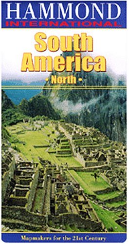 | Map: 1
Pages
(2004-05-07)
list price: US$11.95 -- used & new: US$8.95 (price subject to change: see help) Asin: 0843719516 Canada | United Kingdom | Germany | France | Japan |
|
Editorial Review Product Description | |
| 1-20 of 100 | Next 20 |