|
|
Help |
| Home - Basic N - New Mexico Maps Geography (Books) | |
e99 Online Shopping Mall
|
|
Help |
| Home - Basic N - New Mexico Maps Geography (Books) | |
| 1-13 of 13 |
click price to see details click image to enlarge click link to go to the store
| 1. Topographic Recreational Map of New Mexico: Full Color Road Map for Outdoor Enthusiasts (City Maps-USA) by Gtr Mapping | |
| Map: 1
Pages
(1993-01)
list price: US$3.95 Isbn: 0528943286 Canada | United Kingdom | Germany | France | Japan | |
| 2. New Mexico in Maps by Jerry Williams | |
| Paperback: 469
Pages
(1986-12)
list price: US$7.95 Isbn: 0826308708 Average Customer Review: Canada | United Kingdom | Germany | France | Japan | |
Customer Reviews (2)
The Contents includes numerous maps under each of the following headings:Natural Environment, Historical Landscapes, Population Characteristics, Economic Characteristics, Cultural Elements and Government.Although the title is several years out of date in some areas, it's still the best document of the kind I've ever seen for the State of New Mexico in a broad-brush quick reference or for an in-depth study of certain aspects of New Mexico history you won't find elsewhere.I'd love to see UNM Press do another run of this one or print it on a book by book POD.It's entirely too good to allow to become unavailable. ... Read more | |
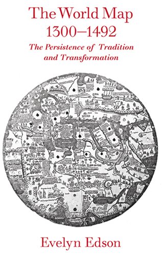
| 3. The World Map, 1300--1492: The Persistence of Tradition and Transformation (Published in cooperation with the Center for American Places, Santa Fe, New Mexico, and Staunton, Virginia) by Evelyn Edson | |
 | Hardcover: 312
Pages
(2007-05-30)
list price: US$50.00 -- used & new: US$26.50 (price subject to change: see help) Asin: 0801885892 Average Customer Review: Canada | United Kingdom | Germany | France | Japan |
|
Editorial Review Product Description In the two centuries before Columbus, mapmaking was transformed. The World Map, 1300--1492 investigates this important, transitional period of mapmaking. Beginning with a 1436 atlas of ten maps produced by Venetian Andrea Bianco, Evelyn Edson uses maps of the fourteenth and fifteenth centuries to examine how the discoveries of missionaries and merchants affected the content and configuration of world maps. She finds that both the makers and users of maps struggled with changes brought about by technological innovation -- the compass, quadrant, and astrolabe -- rediscovery of classical mapmaking approaches, and increased travel. To reconcile the tensions between the conservative and progressive worldviews, mapmakers used a careful blend of the old and the new to depict a world that was changing -- and growing -- before their eyes. This engaging and informative study reveals how the ingenuity, creativity, and adaptability of these craftsmen helped pave the way for an age of discovery. Customer Reviews (1)
| |
| 4. A Poster of New Mexico Gloss Laminated by Robert Waldmire | |
 | Wall Chart: 1
Pages
(1984)
Asin: B002IU8V6U Canada | United Kingdom | Germany | France | Japan |
|
Editorial Review Product Description This gloss laminated black and white poster of New Mexico is jam-packed with illustrations and notes. The full map of New Mexico is complimented with native flora and fauna, historical personages, and several zooms out to place New Mexico within the entire Universe. The notes cover the full range of the State, from its history, its peoples, its places of interest, and its flora and fauna. Size: 19" x 25" | |
| 5. The New Webster's Us & World Atlas (Rand McNally Pocket Road Atlas US, Canada Mexico Leatherette Binding) by none noted | |
 | Hardcover:
Pages
(1992)
-- used & new: US$11.00 (price subject to change: see help) Asin: B000OH7ZFC Canada | United Kingdom | Germany | France | Japan |
|
Editorial Review Product Description | |
| 6. The People's Guide to Rv Camping in Mexico by Carl Franz, Steve Rogers, Lorena Havens | |
| Paperback: 320
Pages
(1989-10)
list price: US$13.95 -- used & new: US$152.03 (price subject to change: see help) Asin: 0912528915 Average Customer Review: Canada | United Kingdom | Germany | France | Japan | |
Customer Reviews (1)
| |
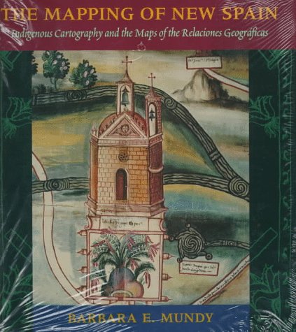
| 7. The Mapping of New Spain: Indigenous Cartography and the Maps of the Relaciones Geograficas by Barbara E. Mundy | |
 | Hardcover: 306
Pages
(1996-12-15)
list price: US$59.00 -- used & new: US$44.97 (price subject to change: see help) Asin: 0226550966 Average Customer Review: Canada | United Kingdom | Germany | France | Japan |
|
Editorial Review Product Description In Mapping New Spain, Barbara Mundy illuminates the complex cultural negotiations that colonists and indigenes undertook in mapping the colony. Her book explains both the Amerindian and the Spanish traditions represented in these early colonial maps, and traces the gradual reshaping of indigene world views in the wake of colonization. The eight color plates and numerous other illustrations from the Relaciones Geográficas maps reproduced in this volume provide unique insights into how people from different cultural traditions--from Spanish officials to small-town indigenous artists--perceived the landscape of colonial Mexico. The first book to consider both indigenous and Spanish contributions to the mapping of Mexico, Mapping New Spain will interest not only historians of art and cartography, but also scholars and general readers interested in Mexican history. * Winner of the 1995 Nebenzahl Prize from the Hermon Dunlap Smith Center for the History of Cartography at the Newberry Library. Customer Reviews (1)
| |
| 8. Maps of Texas and the Southwest, 1513-1900 by James C. & Robert Sidney Martin | |
| Hardcover: 174
Pages
(1984-07)
list price: US$50.00 Isbn: 0826307418 Average Customer Review: Canada | United Kingdom | Germany | France | Japan | |
Customer Reviews (2)
| |
| 9. A Poster of New Mexico by Robert Waldmire | |
| Wall Chart: 1
Pages
(1984)
Asin: B002IU4TFW Canada | United Kingdom | Germany | France | Japan |
|
Editorial Review Product Description This black and white poster of New Mexico is jam-packed with illustrations and notes. The full map of New Mexico is complimented with native flora and fauna, historical personages, and several zooms out to place New Mexico within the entire Universe. The notes cover the full range of the State, from its history, its peoples, its places of interest, and its flora and fauna. Size: 19" x 25" | |
| 10. Mexico: its geography, its people, and its institutions: with a map, containing the result of the latest explorations of Fremont, Wilkes, and others | |
| Hardcover:
Pages
(1846)
Asin: B003OD187O Canada | United Kingdom | Germany | France | Japan | |
| 11. | |
Canada | United Kingdom | Germany | France | Japan | |
| 12. Marcy maps of 1850 & 1853: A portfolio of sixteen enlarged sections by L. M Buttery | |
| Unknown Binding:
Pages
(1981)
Asin: B000715B6U Canada | United Kingdom | Germany | France | Japan | |
| 13. | |
Canada | United Kingdom | Germany | France | Japan | |
| 1-13 of 13 |